Coming Up This Monday (August 1st)
MY PRELIMINARY UK-EUROPE WINTER FORECAST 2011-2012
(INCLUDES EXCLUSIVE VIDEO FROM THE BRITISH ICEBOX OF ALTNAHARRA IN SCOTLAND'S FAR NORTH)

See the blog Facebook page and click 'like' for latest updates and info
In Today's Blog
#BRITISH ISLES-EUROPE
Warm, Summerlike Week Ahead for UK, Sunniest in South where highs could top 30C in London
#USA
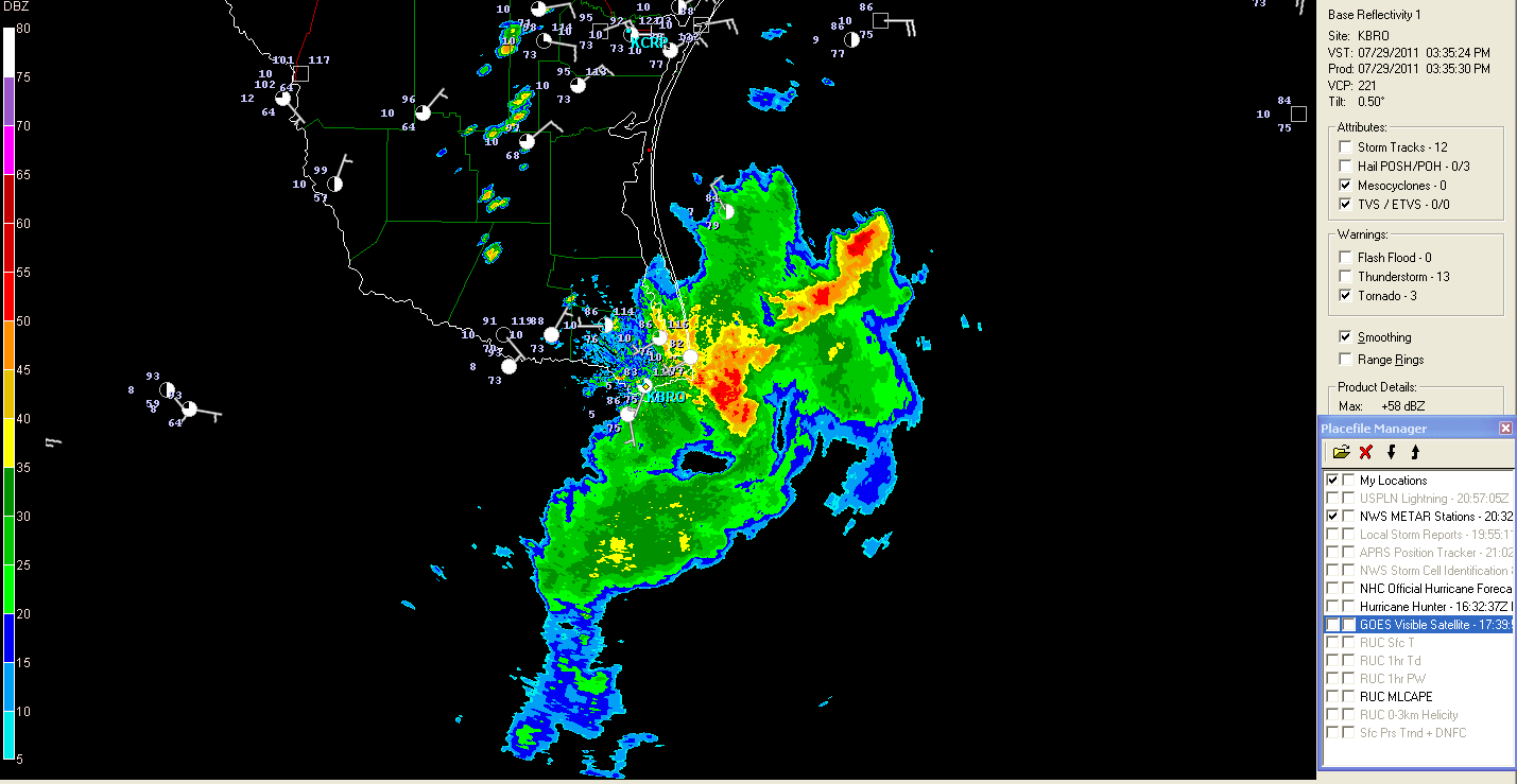
Temperatures on the rise over Southern Plains for start of new workweek
#INDIA-SUB-CONT
Latest India-Sub-Continental Weather By Rajesh Kapadia
In Today's News

Magnitude-6.4 earthquake hits off Japan
CNN
Strong earthquake jolts northeastern Japan
CBS NEWS
Dallas area's triple-digit temperature streak expected to become second longest today
DALLAS NEWS
THE EXTREMES OF THE DAY
TODAY'S US EXTREMES
COURTESY OF ACCUWEATHER
HIGH: 111° at Phoenix, AZ
LOW: 29° at West Yellowstone, MT
TODAY'S UK EXTREMES
COURTESY OF THE MET OFFICE
HIGH: 80° (26.8°C) at Sutton Bonington (Nottinghamshire)
LOW: 37° (3°C) at Santon Downham (Suffolk)
TODAY'S EXTREM,ES HERE AT MY HOUSE
HIGH: 66°
LOW: 54°
Thanks for reading.
-Mark
MY PRELIMINARY UK-EUROPE WINTER FORECAST 2011-2012
(INCLUDES EXCLUSIVE VIDEO FROM THE BRITISH ICEBOX OF ALTNAHARRA IN SCOTLAND'S FAR NORTH)

In Today's Blog
#BRITISH ISLES-EUROPE
Warm, Summerlike Week Ahead for UK, Sunniest in South where highs could top 30C in London
#USA
Temperatures on the rise over Southern Plains for start of new workweek
#INDIA-SUB-CONT
Latest India-Sub-Continental Weather By Rajesh Kapadia
In Today's News

Magnitude-6.4 earthquake hits off Japan
CNN
Strong earthquake jolts northeastern Japan
CBS NEWS
Dallas area's triple-digit temperature streak expected to become second longest today
DALLAS NEWS
THE EXTREMES OF THE DAY
TODAY'S US EXTREMES
COURTESY OF ACCUWEATHER
HIGH: 111° at Phoenix, AZ
LOW: 29° at West Yellowstone, MT
TODAY'S UK EXTREMES
COURTESY OF THE MET OFFICE
HIGH: 80° (26.8°C) at Sutton Bonington (Nottinghamshire)
LOW: 37° (3°C) at Santon Downham (Suffolk)
TODAY'S EXTREM,ES HERE AT MY HOUSE
HIGH: 66°
LOW: 54°
Thanks for reading.
-Mark